![]()
Interactive Northern Extension Maps
The extension is currently deemed a construction site and access is forbidden unless express permission has been given by either Ron Harwood or Paul Robertson. Please respect this for your own safety! As the next best thing, this map is available to illustrate the progress made thus far.
Map 2: Imberhorne Tip area
Please note that for clarity, this map is presented at a larger scale than the previous one.
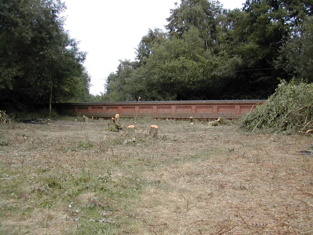
The distance between the two bridges is approximately 600 yards.
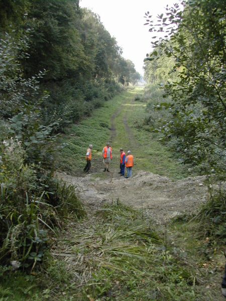
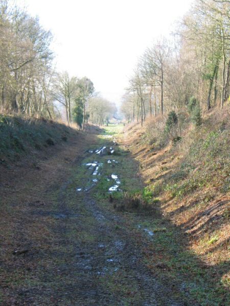
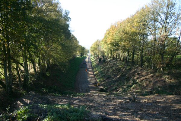
Views at the southern end of the tip
|
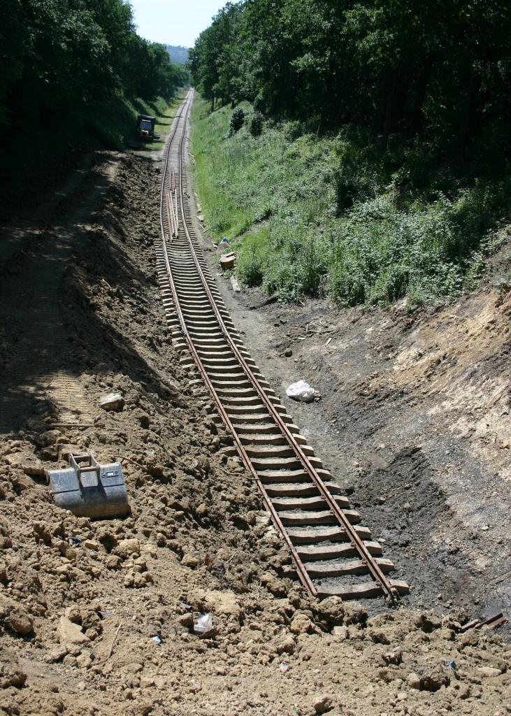
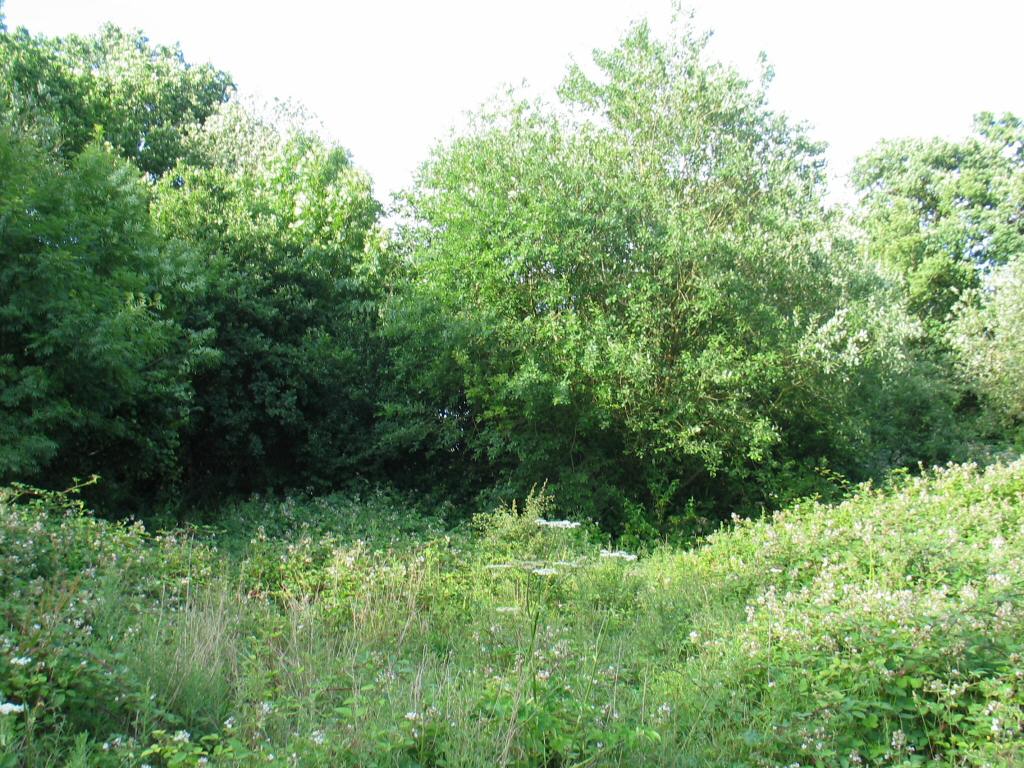
Date: 21st September 2003 |
|
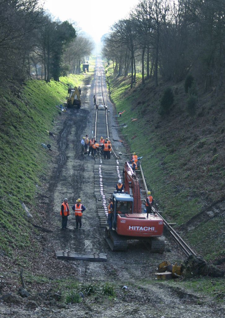
Date: 17th January 2004 |
|
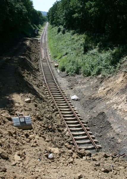
Date: 14th November 2004 |

|
Date: 25th March 2005 |
|
Date: 19th June 200
5 |

|
Date: 3rd July 2004 |

|
Date: 8th August 2004 |

|
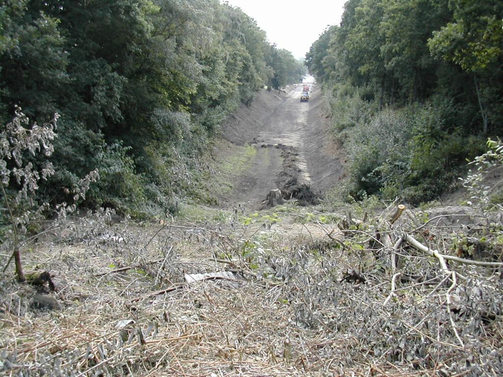
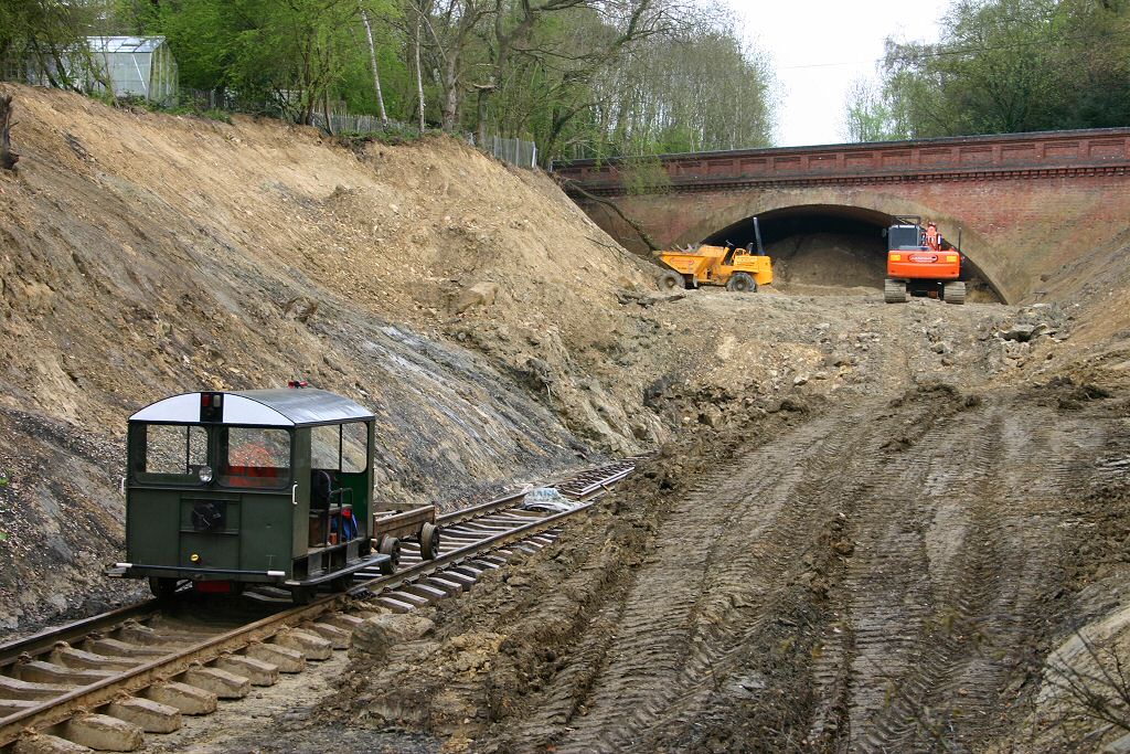
Date: 30 April 2006 |
Back to Map - Go to Extension Maps Index Page
Please note that although every effort has been made to make these maps as accurate as possible, I can't a
ccept responsibility for any inaccuracies.
Comments and suggestions are welcome by email please.
All un-credited photos were taken by Jon Bowers while working with the Sunday P-Way gang, either during authorised visits to the worksite or while delivering materials for the FOK / extension team.
Other photos are by Dave Clarke, Lewis Norris and Paul Norris, to whom many thanks. All photos remain the copyright of the photographer.
![]()
Extension Background -
Latest Extension News -
Land Purchase Fund
