![]()
Interactive Northern Extension Maps
The extension is currently deemed a construction site and access is forbidden unless express permission has been given by either Ron Harwood or Paul Robertson. Please respect this for your own safety! As the next best thing, this map is available to illustrate the progress made thus far.
Map 2: Imberhorne Tip area
Please note that for clarity, this map is presented at a larger scale than the previous one.
The distance between the two bridges is approximately 600 yards.
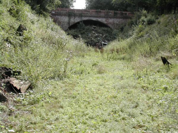
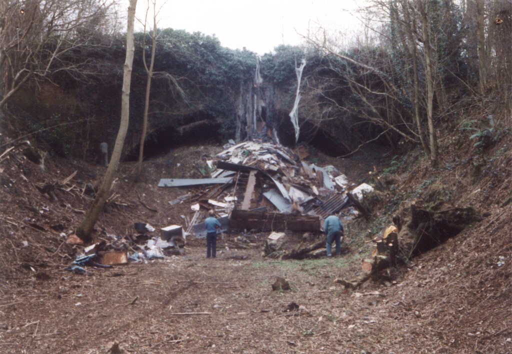
Looking south to Hill Place Bridge

|
Date: 1st February 1998 |
|
Da
te: 22nd August 2004 |