

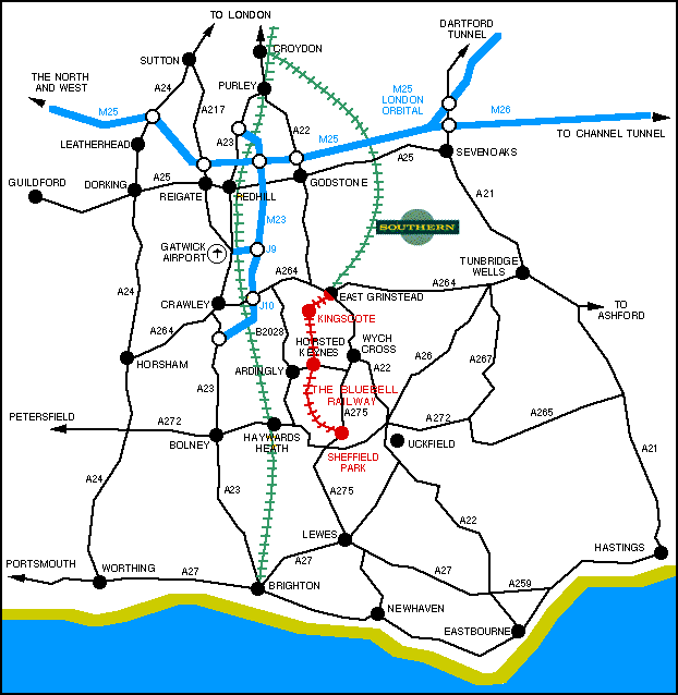
Schematic Map of Surrey and Sussex
showing access to the Bluebell Railway
Ordnance Survey Maps of the area:
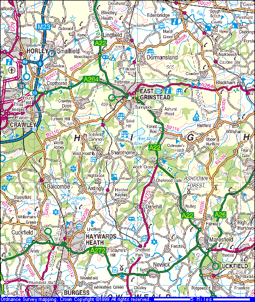
Image produced from the Ordnance Survey Get-a-map service. Image reproduced with kind
permission of Ordnance
Survey and Multi Media Mapping.
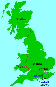
Map of whole country
Full details of How to get to the Bluebell


Return to BRPS Home Page,
to the Timetable or to Special
Events
Visitor Info. -
Museum -
Trust -
Catering -
Contacts -
What's New -
Projects -
Locos -
Carriages & Wagons -
Signals -
History -
Other -
Links -
Search -
FAQ
Why not become a BRPS Member? -
Get more involved as a Volunteer
Your ideal Film/TV location?

© Copyright BRPS. Privacy Policy
|